Chargement...
3D Map
Download
Keep all the slopes at your fingertips.
Slopes & Trails Map | Villars-Gryon-Les Diablerets
Explore the area with our interactive trail map: ski slopes for all levels, lifts, connections between sectors, beginner areas, snowpark, freeride routes, as well as hiking trails, bike routes and mountain restaurants.
Get a complete overview of the area and plan your days with ease, whether in winter or summer. The trail map helps you move efficiently, find routes adapted to your level and make the most of your time in Villars-Gryon-Les Diablerets.
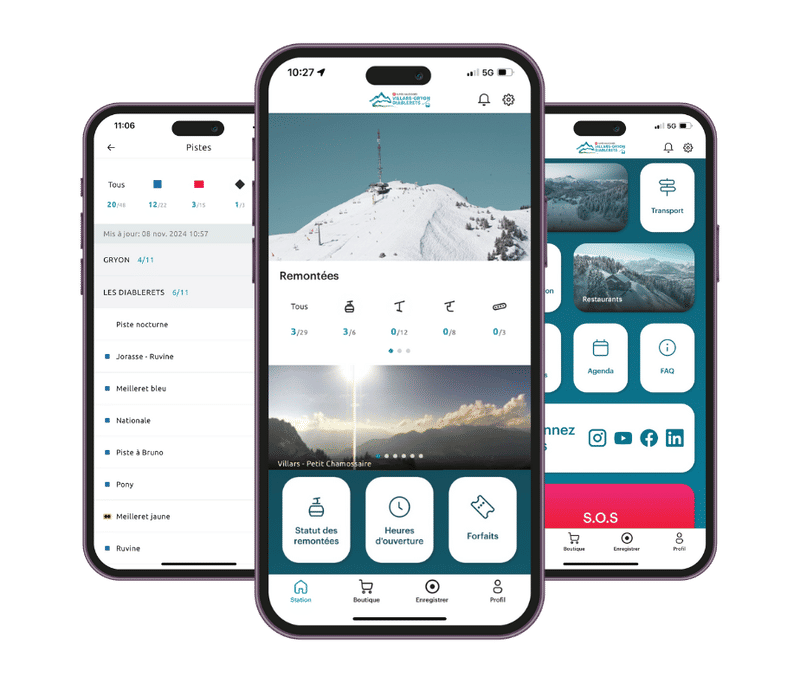
EVERYTHING VILLARS-GRYON-DIABLERETS, ONE TAP AWAY
Explore Villars-Gryon-Diablerets like never before! Download our app for maps, activities, weather updates, and real-time lift info — all in your pocket.

